Spundis circular hike


Show all 6 images

Details
Description
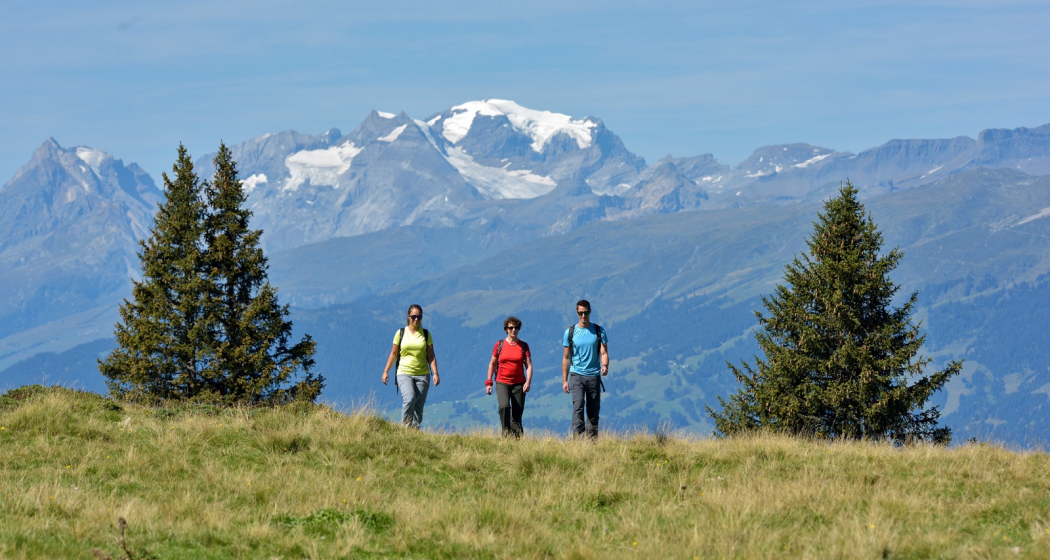
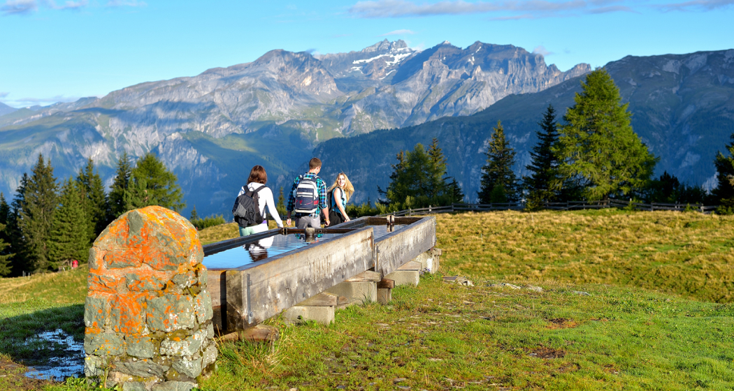
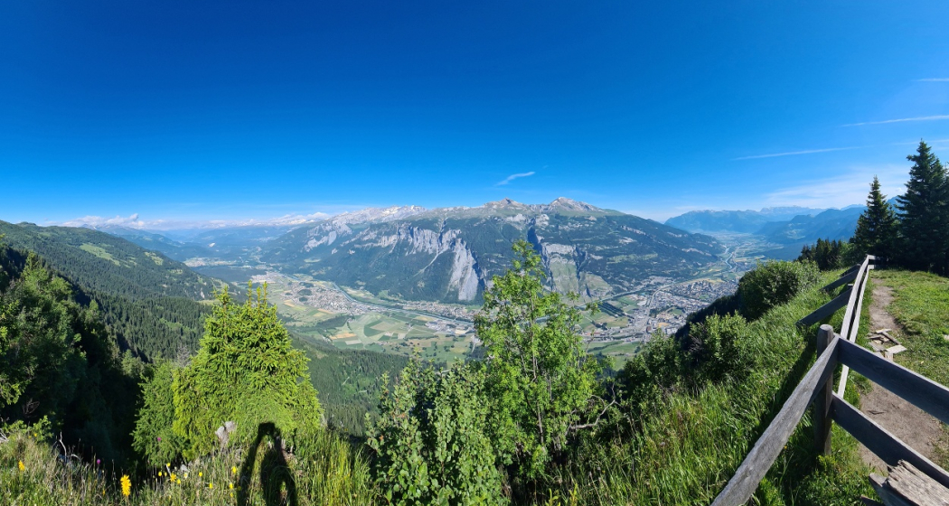
From Brambrüesch, the hike first leads over the plateau, past the mountain restaurants and the ski lift station, and along a wide and gently ascending forest path towards the Edelweiss hut and over the Malixeralp to Spundis, where the view opens up far into the Graubünden Oberland. At this point, the path leads to the right across the plain and later through the forest to the Spundiskopf. Here you can expect a magnificent panorama and especially the view down into the Chur Rhine Valley is very impressive. A great place for a rest before heading back through the forest, on a narrow and initially steep hiking trail, until you finally reach the mountain station of the gondola lift again. In the nearby Battagliahütte you can round off the hike with pleasure before you take the mountain railways back to Chur.
Directions
Parken
More about parking for guests of the Chur mountain railways.
Responsible for this content Brambrüesch.
This content has been translated automatically.
