Through the Domleschg from Scharans to Feldis


Show all 13 images

A varied hike through cultural landscapes and settlements on the hills of the Domleschg up to the sunny terrace of the small mountain village of Feldis.
Details
Description
The climatically mild Domleschg, known for its numerous castles and fruit growing, lies on the right bank of the Hinterrhein between Sils i.D. and Feldis, which lies high above Rothenbrunnen.
The hike starts in Scharans, a village steeped in history and situated on a sunny terrace with stately and culturally historic buildings in a townscape of national importance. Settlements were built here as early as the Bronze Age and Stone Age.
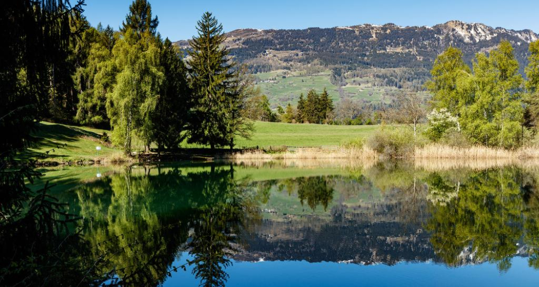
From Scharans, the route leads to Almens and on to the idyllic Canovasee, which invites you to swim and linger. The hike leads through the village of Paspels to the ruins of Old and New Sins from the 12th century and the privately owned Paspels Castle.
The route continues at a relaxed pace to Tomils before climbing via Scheid up to Feldis. After overcoming the 700 meters of altitude difference, a settlement situated on a high plateau awaits us, which was first mentioned in documents in the 13th century.
From Feldis, you can take the PostBus via Tomils to Rothenbrunnen or Thusis or the Rhäzüns-Feldis cable car to Rhäzüns and then a short walk to Rhäzüns railroad station.
Any hiking trail closures/restrictions or detour can be found here.
Geheimtipp
Treat yourself to a short (swimming) break at Lake Canova in Paspels.
Ausrüstung
Weatherproof clothing and hiking boots recommended.
Directions
Scharans - Almens - Canovasee - Paspels - Tomils - Scheid - Feldis
Directions
Public Transport
The villages of Scharans, Almens, Paspels, Tomils, Scheid and Feldis can be reached by PostBus. Further information and timetables can be found at sbb.ch.
Responsible for this content Viamala Tourism.

This website uses technology and content from the Outdooractive platform.

